Land Use
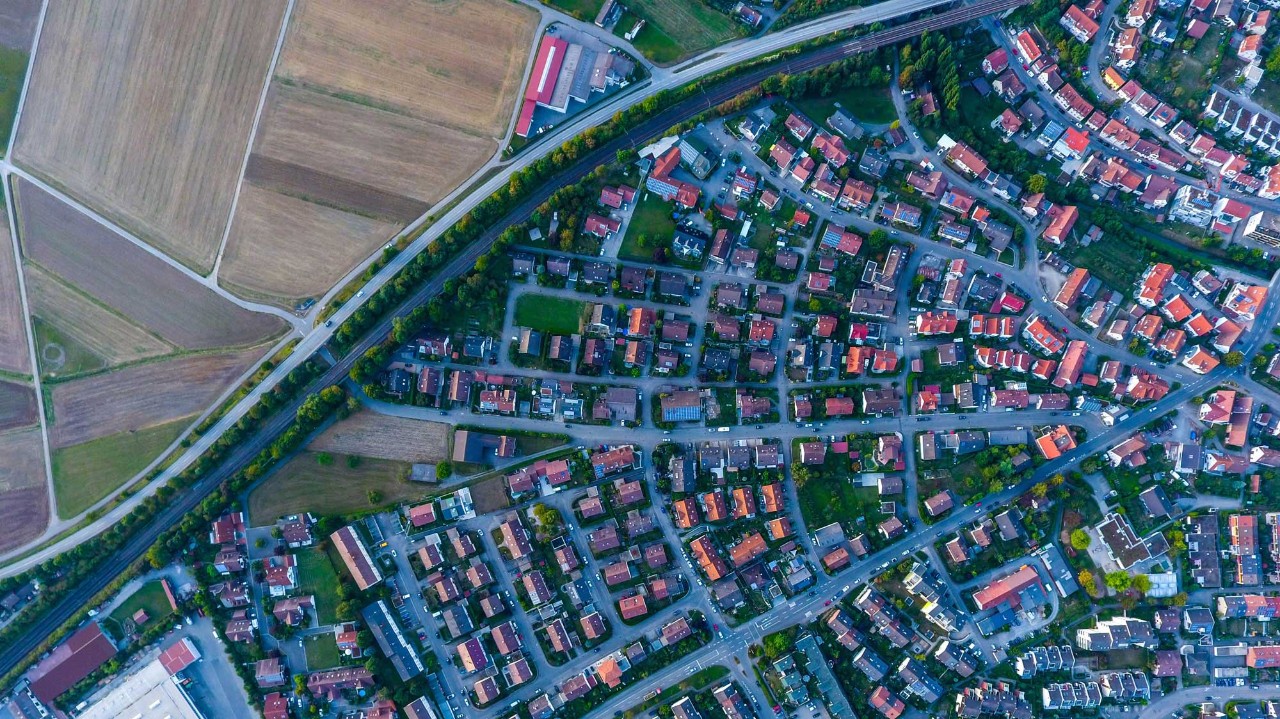
The Geographic Services department in the Division of Property Assessments (DPA) produces land use maps and data derived annually from property assessment data extracted from the state's IMPACT CAMA system. The land use product assists planners and economic development professionals in inventorying and analyzing land use patterns across Tennessee. As time passes, this data will become a useful tool to analyze patterns of change.
These classifications are based on professionally accepted standards and contain detailed categories such as single and multi-family dwellings, offices, general commercial uses, industrial sites, and agricultural and timber lands.
* Disclaimer: This data is intended for planning purposes only. Data should be field checked to verify accuracy. This product represents data collected for assessment purposes. The data was obtained from the County Assessors of Property. These maps cannot be construed as legal boundaries.
** Please note the following counties are not available: Chester, Davidson, Hamilton, Hickman, Knox, Montgomery, Rutherford, Shelby, and Williamson Counties. These counties do not participate in the state's IMPACT CAMA system.
