Parcel Data
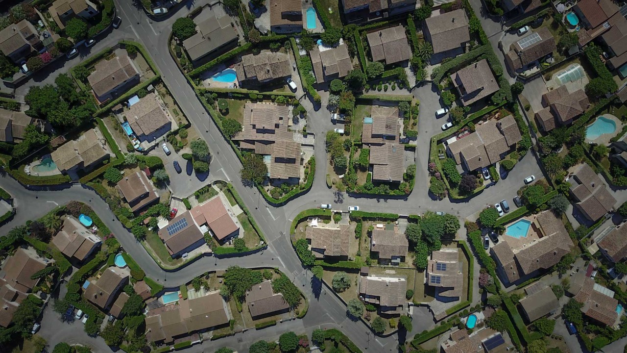
Geographic Services offers a GIS parcel data product for download in an Esri shapefile format that requires specialized GIS software for viewing and/or editing. The available parcel data is updated weekly and can be downloaded by county below. We do not offer historical downloads, nor any recurring extracts or other automated downloads of the data hosted on our website. The shapefile data can be used in a commercial application.
Accessing Tabular Data
There is a table named 'Assessment_Data_##.dbf' within each county's downloaded folder. If the table is joined to the corresponding parcels layer via the field "GISLINK", additional owner, property, building, land use, and assessment information can be viewed. Also present in the downloaded folder is an excel spreadsheet containing a field dictionary that can be used to define fields within the Assessment_Data table and other fields within the county's parcel data.
CHESTER, DAVIDSON, HAMILTON, HICKMAN, KNOX, MONTGOMERY, RUTHERFORD, SHELBY, AND WILLIAMSON COUNTIES ARE NOT MAINTAINED BY THE TENNESSEE OFFICE OF THE COMPTROLLER OF THE TREASURY.
PLEASE CONTACT THEM DIRECTLY FROM THE LINKS AT THE BOTTOM OF THIS PAGE.
DO NOT SUBMIT THE FORM BELOW.
These links are provided for your convenience. The resulting pages are not maintained by the Tennessee Office of the Comptroller of the Treasury, and we make no guarantees as to their content or accuracy.
Please contact Geographic Services at GIS.Data@cot.tn.gov if you have issues with the site or for questions concerning the parcel data.