Parcel Data Stewardship
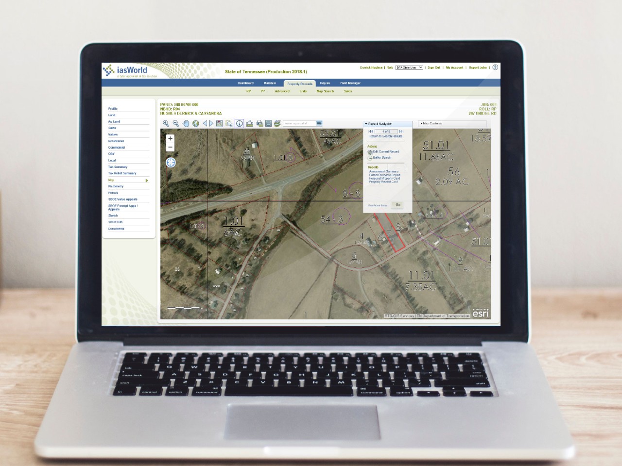
As Tennessee's steward of parcel GIS data, the Geographic Services department in the Division of Property Assessments (DPA) is responsible for overseeing the maintenance and distribution of the statewide parcel data produced through the Tennessee Base Mapping Program (TNBMP).
Maintenance
DPA provides both mapping and technical services to local Property Assessors throughout the State. This allows DPA to monitor the maintenance process and ensure that the statewide parcel data accurately reflects the cadastral landscape of Tennessee. DPA's mapping section provides GIS data update services to counties that have not implemented GIS programs. For the counties that have implemented a GIS program, DPA provides technical services to support the parcel data maintenance process. These services range from GIS software implementation, upgrades and development to basic technical support. In addition, DPA supports all counties with the resolution of complex mapping issues.
Distribution
With the increasing utilization of GIS technology, DPA facilitates the distribution of parcel data for nearly all of Tennessee's 95 counties to Local, State, and Federal Government agencies as well as the general public. For consumers interested in just viewing the parcel data, DPA works with the state's Strategic Technology Solutions, GIS Services division to make the data available through Tennessee's centralized GIS mapping portal known as the Tennessee Map (TNMap). For non-governmental entities interested in acquiring parcel data, DPA makes the data available for download HERE.
